Dargo High Plains
Dargo, VIC
140.0 km (6 hrs )
★★★☆☆
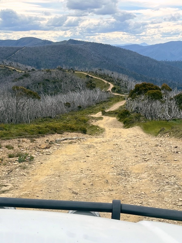
The Dargo High Plains Road is a gravel road the descends from the Great Alpine Road near the ski resort at Mount Hotham (1,500 m elevation) to Dargo (250 m elevation). It passes through some remote and spectacular locations, with many interesting side trips. The road was in good condition and easy to drive. Note that most of the roads and tracks that branch off the Dargo High Plains Road require a 4WD, and some can be extremely challenging.
On my journey south I visited part of the iconic Blue Rag Range Track - a challenging and quite difficult 4WD track that has some stunning views of Alpine National Park. I also spent a day exploring the former gold rush era Grant Historic Area, visiting the sites of Grant Township and Talbotville Township, before completing my three day journey with a visit to the lonely Dogs Grave - a memorial to a drover's best friend.